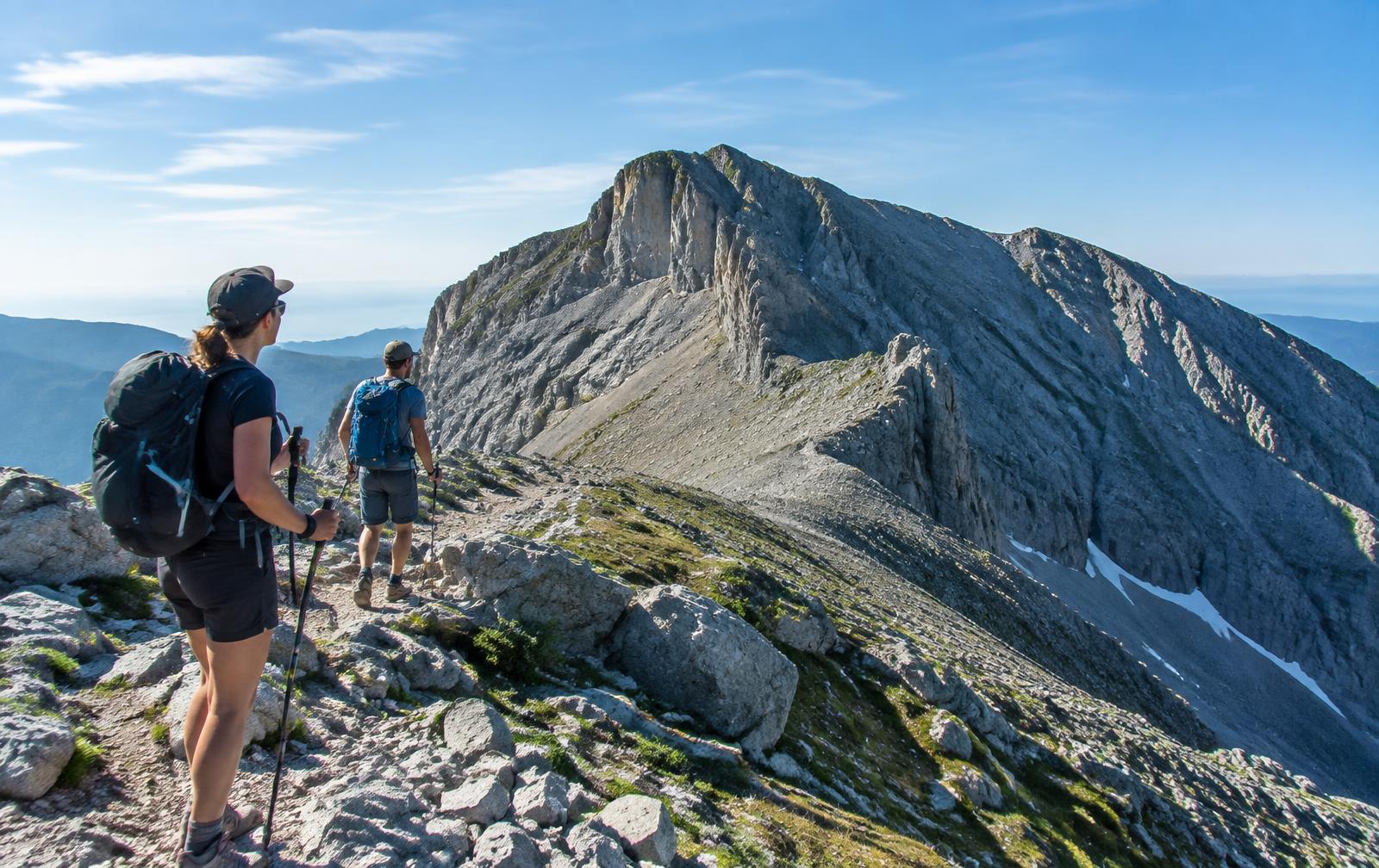
Macedonia · Visual trail guide
Mount Olympus: Prionia to Mytikas
A two-day ascent from the forest at Prionia to Greece's 2,918 m summit, with a refuge night and a serious final scramble.
- Distance
- 24 km return
- Ascent
- +1,818 m
- Time
- 2 days
- Difficulty
- Hard / exposed
- Season
- June–September
- Terrain
- Forest path, scree, exposed Grade I scramble
Explore the profile
Elevation & waypoints
Route orientation
Interactive trail map
Getting there & route plan
- Taxi or seasonal shuttle from Litochoro to Prionia
- Reserve Refuge A well ahead for July and August
- Helmet recommended above Skala; carry 2 L water
- Start the summit section before sunrise to avoid afternoon storms
Safety reality check
Mytikas is not a normal hiking summit. The Louki and Kakoskala approaches are exposed to rockfall and require confident scrambling. Turn back in cloud, rain, high wind or thunderstorms; hire a certified mountain guide if unsure.
This is a planning guide, not a substitute for official trail notices, a topographic map or local expertise. Call 112 in an emergency.