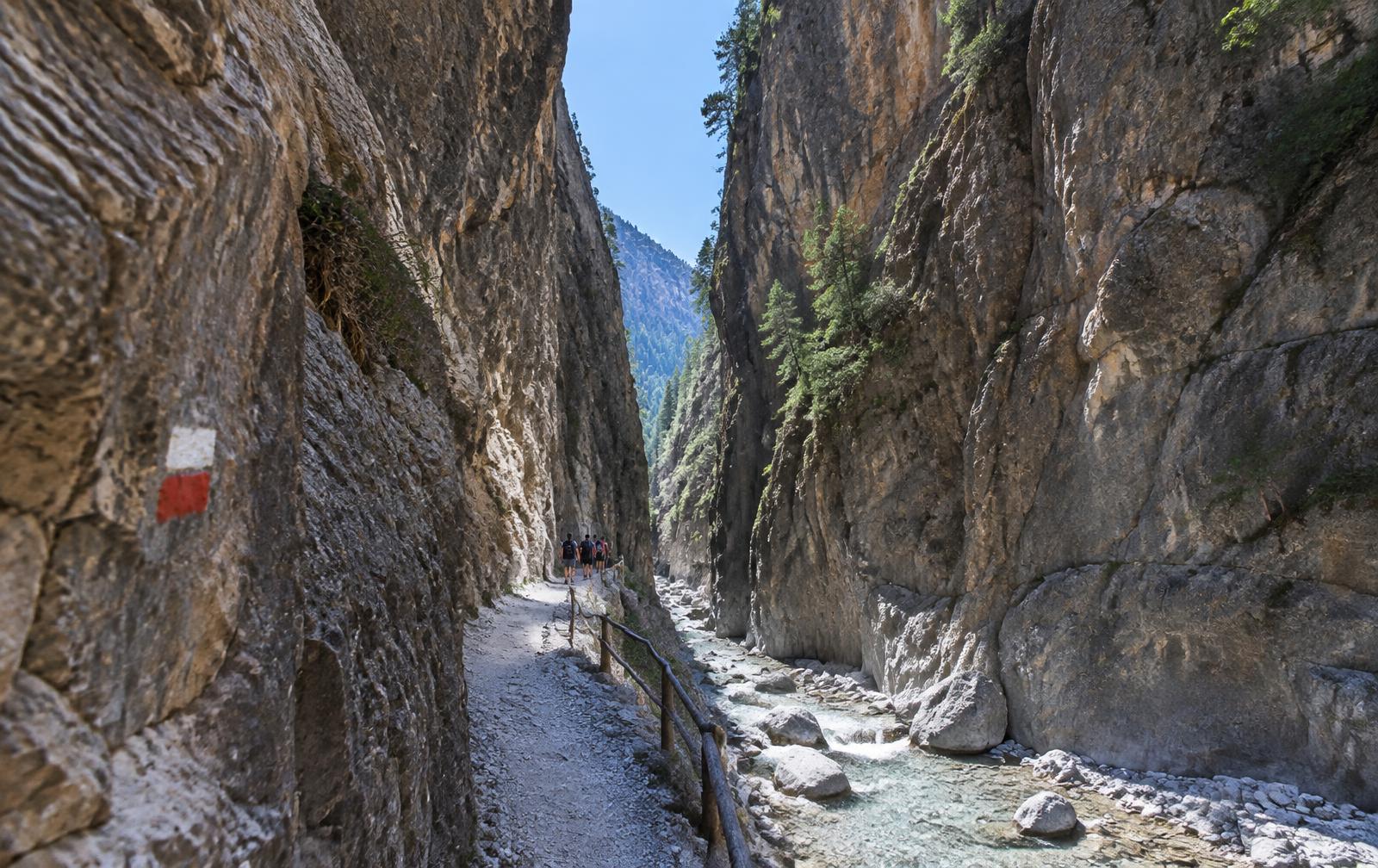
Crete · Visual trail guide
Samaria Gorge: Xyloskalo to the sea
A sustained descent from the Omalos plateau through pine forest and the Iron Gates to Agia Roumeli on the Libyan Sea.
- Distance
- 16 km one way
- Ascent
- +120 m / −1,250 m
- Time
- 5–7 hours
- Difficulty
- Moderate / long
- Season
- May–October
- Terrain
- Stone steps, rocky riverbed, packed path
Explore the profile
Elevation & waypoints
Route orientation
Interactive trail map
Getting there & route plan
- Take the early KTEL bus from Chania to Xyloskalo
- Buy park entry at the trailhead and keep the ticket
- Refill at signed springs; never drink from the river
- Take the ferry from Agia Roumeli to Sougia or Chora Sfakion
Safety reality check
The park closes during bad weather and high fire risk. The long rocky descent is hard on knees and ankles. You must reach Agia Roumeli in time for the last ferry; there is no road out.
This is a planning guide, not a substitute for official trail notices, a topographic map or local expertise. Call 112 in an emergency.